NEODAAS Airborne Data Analysis Node
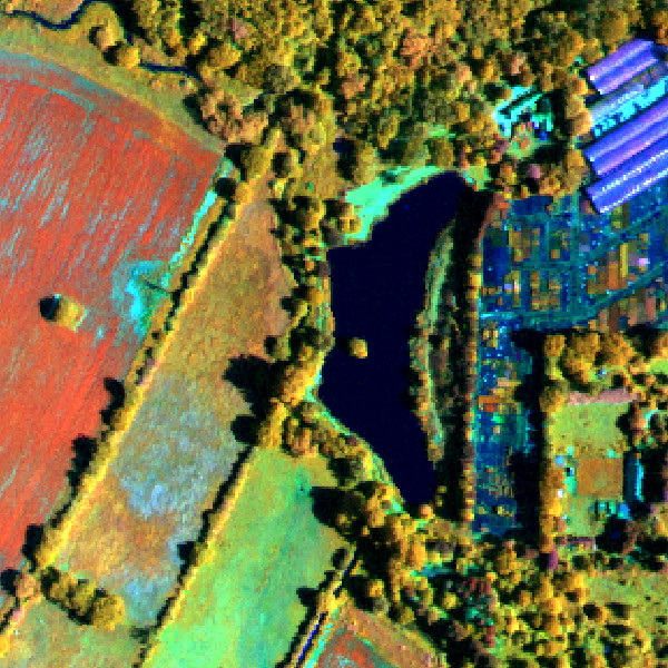
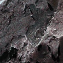
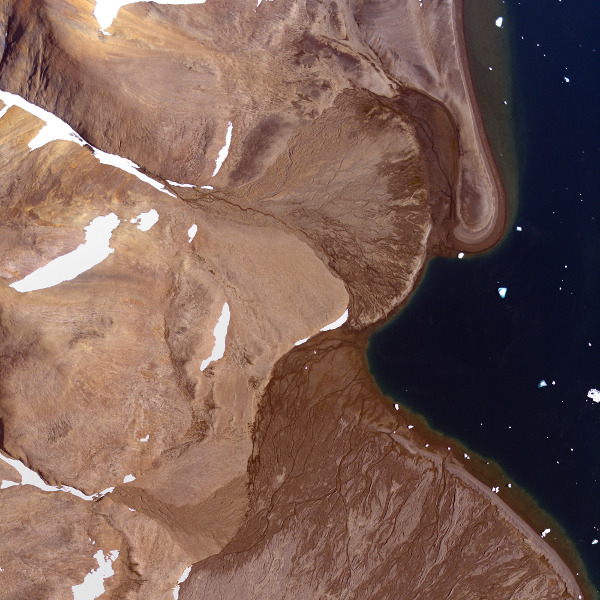
Operating as part of the NERC Earth Observation Data Acquisition and Analysis Service (NEODAAS) we provide processing capability for the National Centre for Earth Observation (NCEO) suite of instruments delivering high quality airborne remote sensing data to support research. We also provide support for the large archive of airborne data held at the Centre for Environmental Data Analysis (CEDA) previously processed by the group as part of the NERC Airborne Research Survey Facility (NERC ARSF) and NERC Airborne Research Facility (NERC-ARF).
Who we are
The NEODAAS Airborne team comprises a small group of scientists with a range of backgrounds spanning mathematics, physics, computer science and geography who have years of experience working with remotely sensed data acquired from airborne platforms. With a strong programming focus, we develop our own software, tools and procedures for data processing, analysis and sensor calibration. As part of the wider NEODAAS group we have expertise in satellite data processing and integration of airborne, satellite and in situ data.
What we do
We pre-process raw sensor data from airborne instruments into radiometrically calibrated and geometrically corrected products using in-house developed procedures. To ensure a high quality product we boresight and calibrate the sensors ourselves. We provide support to data users, from developing new tools to assistance with further processing and analysis of the data. Each year we hold a training workshop covering general use of the data and further processing with internal and external software.
Capabilities
With a background in delivering large quantities of high quality airborne data in standard formats for scientific research we have developed a number of capabilities including sensor calibration, sensor characterisation, web-enabled processing and data quality assessment. In addition to standard products we can offer bespoke solutions such as higher level products, custom software for analysis (including efficient implementation of existing algorithms for large datasets) and training.
Data Services
NEODAAS Airborne exists to provide high quality calibrated data for scientific research, and in doing so delivers far more than a standard service. Sensors are calibrated at least annually and results provided in data quality reports with each delivery. All of the processing steps taken are detailed on the wiki, so users know exactly how the data have been processed to attain the delivered products. Furthermore, many of the scripts used are available to download from GitHub.
NEODAAS Airborne operates a help desk to assist users with the data. This has answered a variety of user queries from accessing metadata to guidance on how to derive specific information from the data. We have also provided further bespoke services, such as atmospheric correction, at a small additional cost. Please get in touch to discuss any further processing. We may be able to advise on LiDAR ground sampling density or hyperspectral ground truthing requirements for your desired application.
How To Get Data
The suite of instruments are operated by NCEO, to discuss opertunities for data collection see www.nceo.ac.uk/facilities/
Hundreds of archived flights from various sites in the UK, Europe and around the world, from 1981 to the present day, are available to download from the Centre for Environmental Data Analysis. A number of sensors have been used by NERC-ARF (formerly ARSF) since 1981 including film and digital survey cameras, multispectral and hyperspectral instruments and LiDAR. Data processing has been undertaken by a group at Plymouth Marine Laboratory (PML) since 2007 and the full internal database of processed data may be viewed here.
Tutorials
NEODAAS-Airborne provides data support to users through the help desk and holds an annual workshop to introduce people to the data and processing options. This includes both presentations and computer exercises to improve data awareness and develop key processing skills.
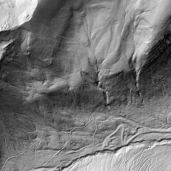
We have produced a number of tutorials to demonstrate some of the processing that can be undertaken towards producing new products for different applications, including:- Creating a Digital Elevation Model (DEM) from LiDAR point cloud data (GitHub)
- Using the Airborne Processing Library (APL) to process hyperspectral data (PDF)
- Atmospheirc correction using the Empirical Line method (PDF)
- LiDAR Full Waveform Tools (PDF)


