Custom Query (432 matches)
Results (76 - 78 of 432)
| Ticket | Resolution | Summary | Owner | Reporter |
|---|---|---|---|---|
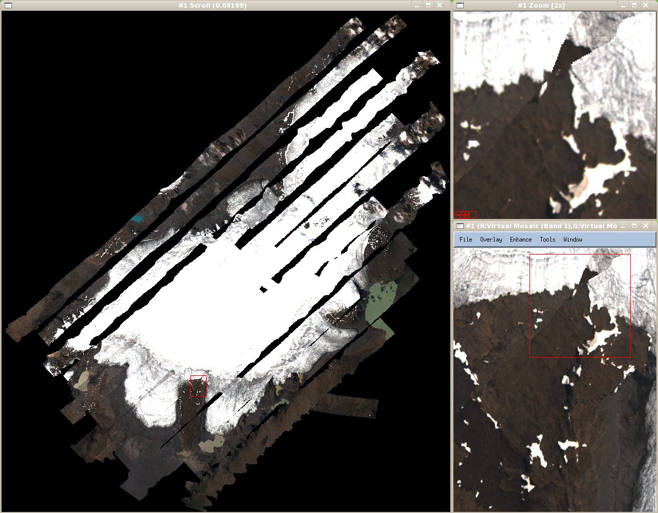
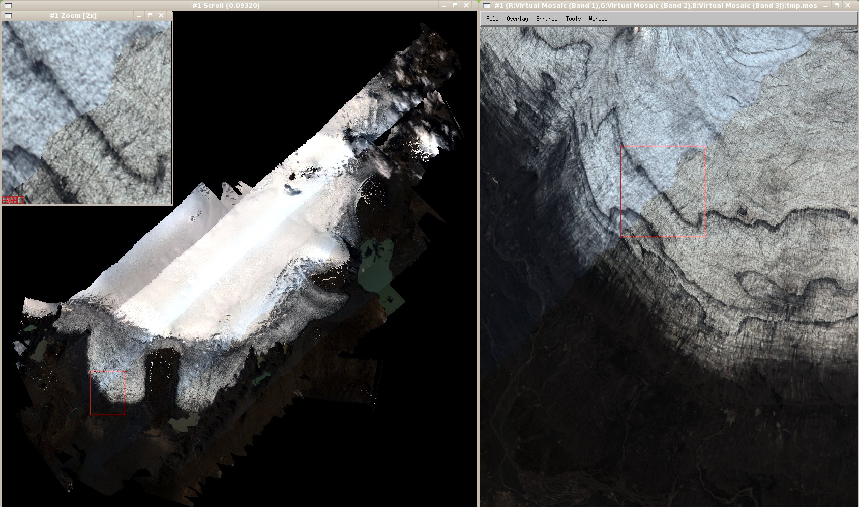
| #127 | fixed | IPY07/08, flight day 214ef/2007, Langjökull | mggr | mggr |
| Description |
Data location: ~arsf/arsf_data/in_progress/2007/flight_data/ipy/IPY07_08-2007_214ef_Langjokull Data arrived from ARSF via SATA disk transfer in August, with post-processed GPS arriving in December following Kidlington visit. Scientific details: (details of IPY applications not currently available at PML) PI: I Willis Langjökull anglicises to Langjokull - use this for filenames just in case of problems. Sensors:
QuicklookCASI ATM |
|||
| #130 | fixed | Support: 22/Apr/2008, Ricardo Díaz-Delgado, EUFAR07/01 | mggr | mggr |
| Description |
Ricardo contacted us yesterday with: Recently you offered your help with any general Eagle/Hawk/CASI/ATM processing issues and we would like to consult about our Eagle/Hawk data processed with azgcorr. As you maybe are aware, Doñana (SW Spain) was overflown March last year and we have been using azgcorr to produce Level 3 geocorrected data, and able to apply atmospheric corrections with the great help of Andrew Wilson from CEH. However, to manage the huge files of the geocorrected Level 3 data at full spatial and radiometric resolution is still a pain because of file size, specially in cases in which we have lots of ground-thruth positions in different flight-lines (our main EUFARNet aim and goal is to map 2 allien plant species). That is why we are also trying to obtain IGM files for ENVI (X and Y coordinate files that help in overlying ground-truth areas, more info at http://www.ittvis.com/services/techtip.asp?ttid=3816), and this is why we are testing the possibility to do it with PARGE since AZGCORR has not this option (although the calculations must be embedded somewhere in the code, during the geocorrection process, as Andrew Wilson indicated). This might simplify the process of overlaying ground-truth on flight-lines before applying any geocorrection to the final product (mostly classification maps). Would it be possible to incorporate such an option on AZGCORR processing? As this is not the only project in which we are working, and we are not experienced hyperspectral data users, it is taking us longer than we would have liked to analyse the data. The IGM files appear to be ENVI's method for specifying per pixel coordinates. This is the same issue as #109. Replying to Ricardo with the info we have on this, and the current tentative plan for this to be implemented pending availability of development time. Raising the importance of that issue too. |
|||
| #131 | fixed | Boresight, flight day 116/2008, Monks Wood | knpa | mggr |
| Description |
Data location: ~arsf/arsf_data/in_progress/2008/flight_data/arsf_internal_projects/boresight-2008_116/ Data arrived from ARSF via rsync transfer begun 28/April, completed 29th (~19hrs/15GB). Scientific details: N/A PI: ARSF This boresight also includes a long line along a railway track, with wiggles, per action item in the recent meeting. Sensors:
QuicklookTBD. |
|||

