| Version 1 (modified by adbe, 14 years ago) (diff) |
|---|
DEM scripts
This page details and explains the use of the DEM creation scripts:
lidardem.sh
asterdem.sh
nextmapdem.sh
lidar_aster_dem.sh
The scripts listed are written in bash.
These scripts are used to create a DEM from LiDAR and elevation model tiles. The scripts use grass GIS to read in the elevation tiles and perform patching and various other operations on the data to create a DEM. GRASS is a GIS (Geograohic Information System) and details of it can be found at: http://grass.fbk.eu/. There is a detailed api and usage guide, it is available for free download at: http://grass.fbk.eu/download/index.php.
Creating a DEM from ASTER data using asterdem.sh script
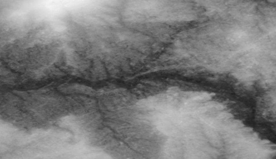
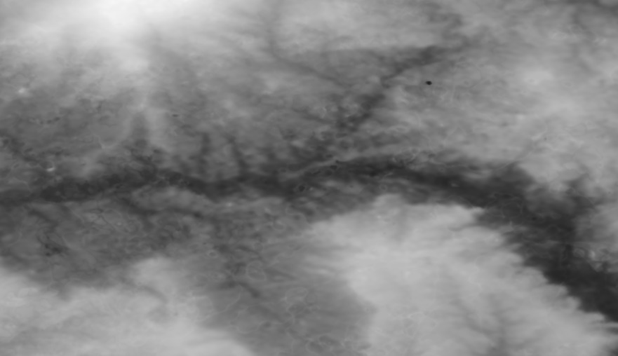
ASTER (Advanced Spaceborne Thermal Emission and Reflection Radiometer) is a sensor on the Terra satellite, ASTER is partly being used to obtain elevation maps. The ASTER version 1 have an approximate resolution of 30 metres, version 2 however has an approximate resolution of 15 metres.
Attachments (3)
-
15_metre.jpg
(64.4 KB) -
added by adbe 14 years ago.
aster_15_m.jpg
-
30_metre.jpg
(45.8 KB) -
added by adbe 14 years ago.
aster_30_m.jpg
-
grass_db_template.zip
(4.4 KB) -
added by mark1 14 years ago.
grass_db_template
Download all attachments as: .zip