| Version 1 (modified by mark1, 17 years ago) (diff) |
|---|
Creating a DEM from a LIDAR point cloud
This page contains instructions for creating a DEM from the ASCII point clouds acquired from the Leica ALS50 II in 2009 onwards. Instructions are given for using your ARSF data in four GIS systems:
- ArcGIS
- ENVI
- ERDAS Imagine
- GRASS
There is also a section giving instructions on how to make your DEM suitable for use in the azgcorr software.
ArcGIS
ENVI
ERDAS Imagine
GRASS
Making the DEM suitable for azgcorr
To make a suitable ASCII DEM for us in the azgcorr software, the header information of the ASCII DEM file must be in a certain format. The required format is to have a header of one line (the first line of the file) with the DEM data following. The format is (as given by the azgcorr help):
or c r xm ym xx yx gi
where:
or = row order of the data [0 if South to North, 1 if North to South]
c = number of columns
r = number of rows
xm = minimum easting
ym = minimum northing
xx = maximum easting
yx = maximum northing
gi = grid size (spacing)
An example header might be: 1 2000 2000 400000 850000 410000 860000 5
Attachments (4)
-
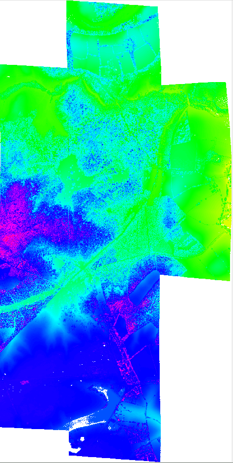
mosaic_with_holes.png
(340.5 KB) -
added by mark1 17 years ago.
Point cloud mosaic - gridded 2m
-
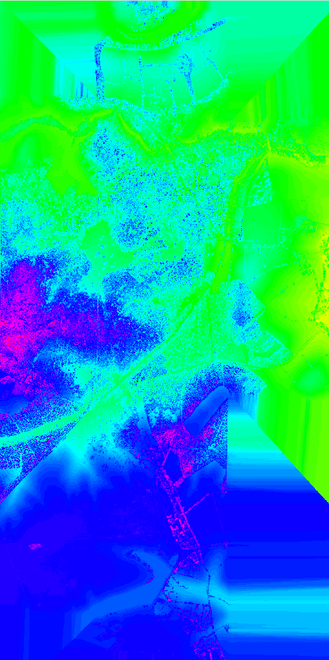
interp_full_region.png
(293.7 KB) -
added by mark1 17 years ago.
interpolated full region
-
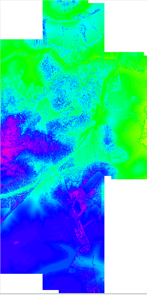
interp_with_mask.png
(305.4 KB) -
added by mark1 17 years ago.
interpolated with mask
-
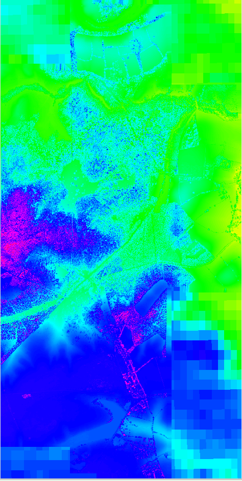
combo_srtm_lidar.png
(341.8 KB) -
added by mark1 17 years ago.
Combined SRTM and Lidar DEM
Download all attachments as: .zip