| Version 4 (modified by mark1, 14 years ago) (diff) |
|---|
Data Processing Overview
ARSF DAN have introduced a new processing overview to give near real time information on the processing status of data. The over views take the form of KML files which are viewable with Google Earth. They are created at the time when ARSF-DAN first receives the raw data and then are updated periodically when new information becomes available.
Initial Status
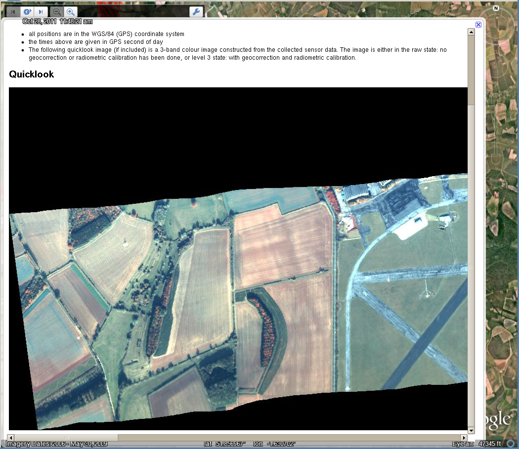
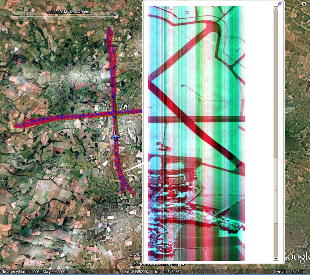
When the data are first received a Google Earth file is created that displays the flight line locations and times when data were acquired. If Eagle and Hawk data are captured then quicklooks of the raw data are included to give an idea of coverage and quality due to cloud cover.
Progressing
As data processing progresses more information becomes available. This can take the form of:
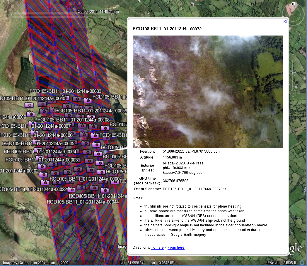
- RCD Camera quick look images at position of exposure
- Geocorrected level-3 images of hyperspectral data
- Intensity images of LiDAR data
These will become available after the delivery directory is created.


Attachments (4)
-
kml_with_lev3.png
(937.9 KB) -
added by mark1 14 years ago.
KML overview with Level-3 quicklook
-
kml_with_raw.png
(1.7 MB) -
added by mark1 14 years ago.
KML overview with raw quicklook
-
kml_with_rcd.png
(1.4 MB) -
added by mark1 14 years ago.
KML overview with RCD quicklook
- kml_with_lidar.png (1.4 MB) - added by mark1 14 years ago.