| Version 57 (modified by emca, 14 years ago) (diff) |
|---|
ARSF Data Analysis Node data processing wiki

The Airborne Research & Survey Facility Data Analysis Node, based at Plymouth Marine Laboratory, process and distribute the data collected by the ARSF.
We provide radiometrically corrected hyperspectral data from the AISA Eagle and Hawk instruments; ground height information from the Leica ALS50-II; and digital photography. We additionally supply DEM data with deliveries.
We undertake regular calibration of the sensors and perform quality control on all processed data prior to delivery.
ARSF Training Workshop
ARSF-DAN hold an annual 1-day training workshop in Plymouth for users of ARSF data. This workshop is given free of charge and provides an introduction to airborne remote sensing and data processing techniques. More specifically the focus is on hyperspectral data processing using apl software and LiDAR processing using freely available tools.
This workshop is open to all users of ARSF data, however priority is given to those who have received data from us in the past 12 months. We plan to hold the first workshop in Autumn 2012. If you are interested in attending or would like further information please contact us.
Information and help
- Where are my data?
- ARSF Help Desk - processing tips, FAQ, tutorials and more
- Data Processing at ARSF-DAN
- Procedures - documentation of internal procedures (including processing)
- Sensors - information on the various sensors
- Downloads Software and documentation downloads
- Reports on various instrument and processing issues
- Contact Us Various address details for contacting ARSF DAN
- ARSF internal-only pages (passwords, personal info, etc that can't be on a public wiki)
Attachments (3)
-
d-calm1b.jpg
(12.5 KB) -
added by mark1 14 years ago.
Image of plane
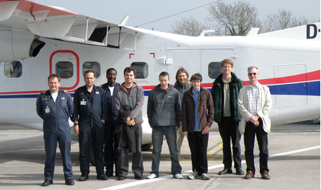
- arsf_team.png (230.1 KB) - added by emca 14 years ago.
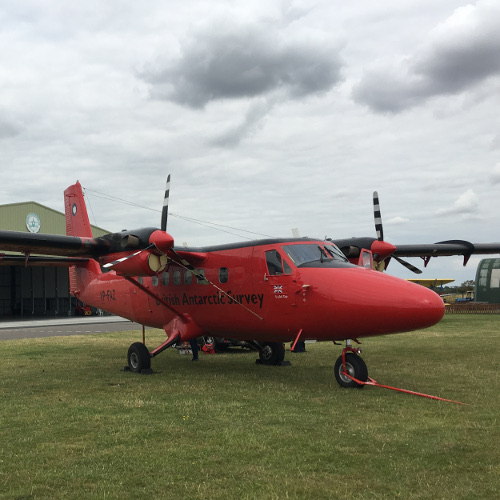
- twin_otter_profile.jpg (92.7 KB) - added by dac 9 years ago.
Download all attachments as: .zip