#146 closed flight processing (fixed)
ET07/01, flight day 036, Rift_North
| Reported by: | mark1 | Owned by: | mggr |
|---|---|---|---|
| Priority: | alpha 4 high | Milestone: | 2008 data processing completion |
| Component: | Processing: general | Keywords: | |
| Cc: | Other processors: |
Description (last modified by mggr)
One of the Rift Valley flights that was aborted due to haze.
See notes below though - some data recoverable.
Attachments (9)
Change History (23)
comment:1 Changed 18 years ago by mark1
comment:2 Changed 18 years ago by mark1
Hi mark
None of the rift data needs processing as the conditions were so poor.
I am out of work until june the 6th.
I will check the data when I get back.
Cheers
Phil
comment:3 Changed 18 years ago by mggr
- Description modified (diff)
- Owner set to mggr
Two lines available. Applanix present but no basestation.
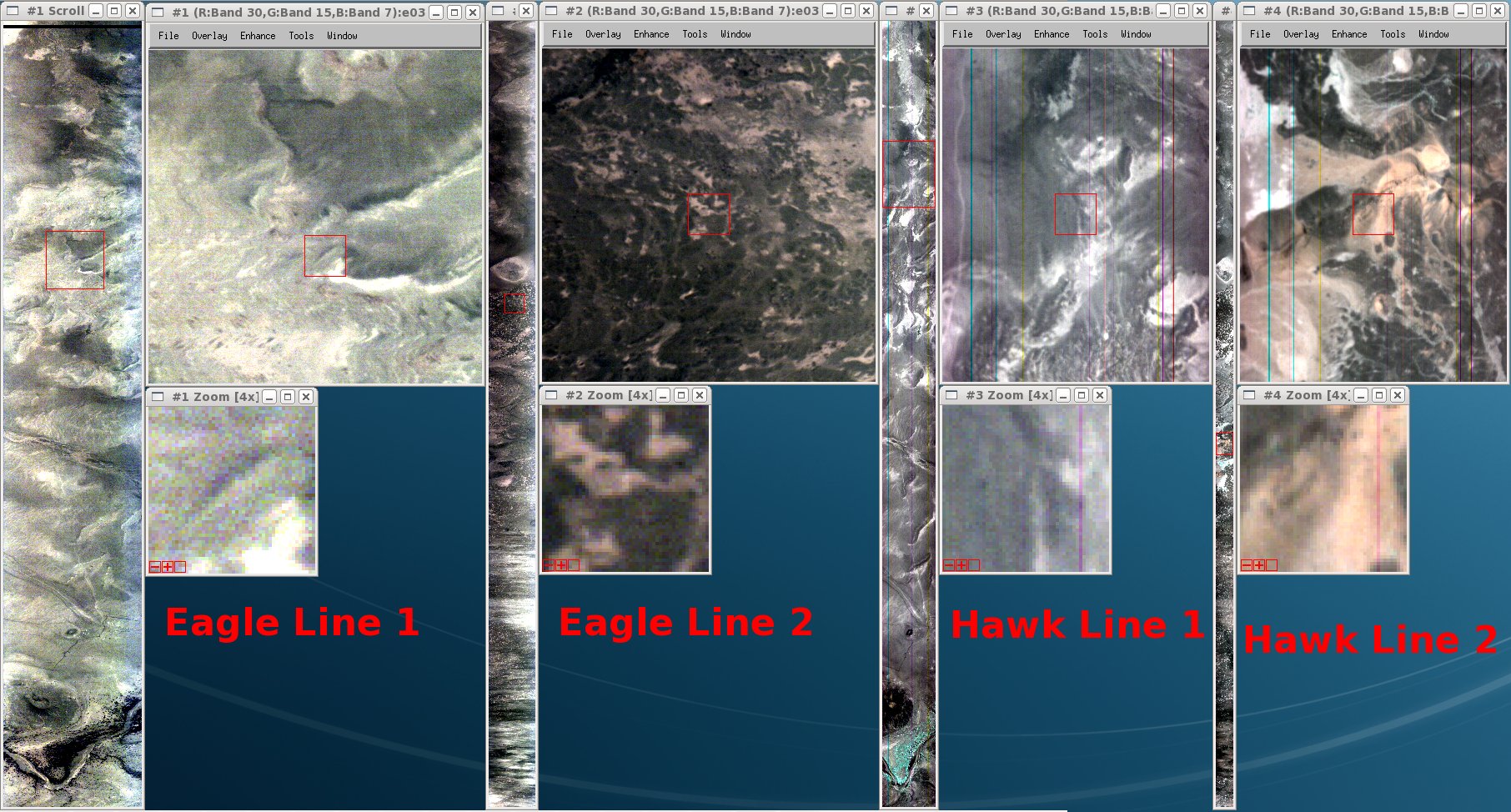
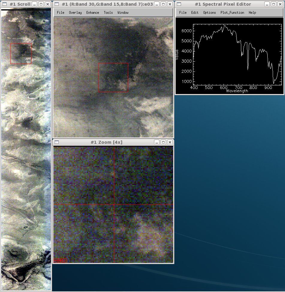
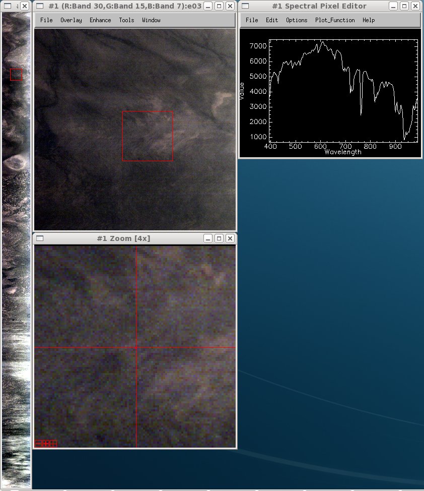
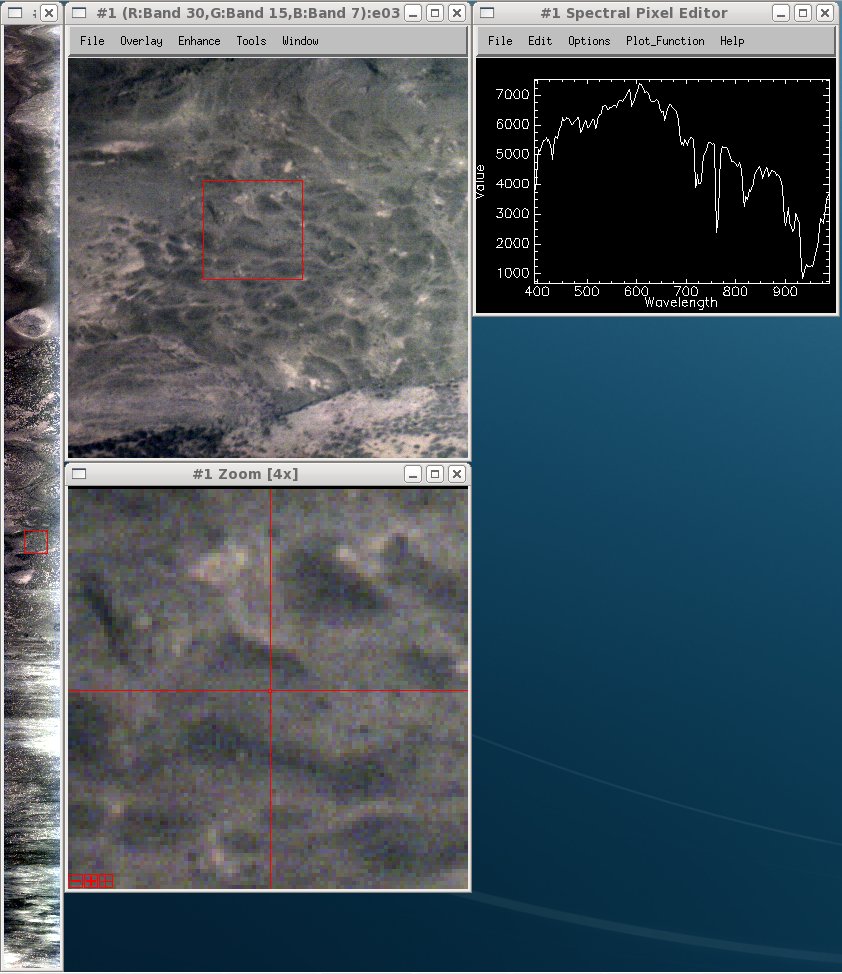
Steering committee recommended we contact the PI with sample pictures and ask if he wants it processed despite the quality.
Changed 18 years ago by mggr
Changed 18 years ago by mggr
Changed 18 years ago by mggr
Changed 18 years ago by mggr
Changed 18 years ago by mggr
Changed 18 years ago by mggr
Changed 18 years ago by mggr
Changed 18 years ago by mggr
Changed 18 years ago by mggr
comment:4 Changed 18 years ago by mggr
- Status changed from new to assigned
comment:5 Changed 18 years ago by mggr
Cleaned up the directory structures and put data files in the right places, ready to process. Currently in ~/arsf_data/in_progress/2008/flight_data/ethiopia/dont_process/036_08_ET07-01_Rift_North/ pending mailing Tim.
comment:6 Changed 18 years ago by mggr
Approximate locations:
- Eagle line 1, GPS Starting point = {12.331368, 40.355324}
- Eagle line 2, GPS Starting point = {12.293341, 40.285824}
- Hawk line 1, GPS Starting point = {12.331364, 40.355667}
- Hawk line 2, GPS Starting point = {12.293299, 40.285492}
comment:7 Changed 18 years ago by mggr
More usefully.. approximate locations:
- Eagle line 1, GPS = {12.331368, 40.355324} -> {12.334456, 40.243477}
- Eagle line 2, GPS = {12.293341, 40.285824} -> {12.423544, 40.585922}
- Hawk line 1, GPS = {12.331364, 40.355667} -> {12.333267, 40.247253}
- Hawk line 2, GPS = {12.293299, 40.285492} -> {12.420869, 40.584793}
comment:8 Changed 18 years ago by mggr
Tim says yes please, so we can go ahead on processing. He may have some GPS data too..
comment:9 Changed 18 years ago by anee
- Owner changed from mggr to mark1
- Status changed from assigned to new
delivery dir created at: /users/rsg/anee/scratch/ET07_01-2008_036_Rift_North
comment:10 Changed 18 years ago by mark1
- Owner changed from mark1 to anee
Delivery has been checked, example commands tested and data looks ok.
Data has been rsynced over to ~arsf/arsf_data/in_progress/2008/flight_data/ethiopia/ET07_01-2008_036_Rift_North/
comment:11 Changed 18 years ago by anee
Data delivered 07/24/2008.
comment:12 Changed 17 years ago by anee
- Owner changed from anee to mggr
comment:13 Changed 17 years ago by mggr
- Description modified (diff)
- Resolution set to fixed
- Status changed from new to closed
Data sent to NEODC for archiving.
comment:14 Changed 12 years ago by tipo
Reprocessed nav and hyperspectral.

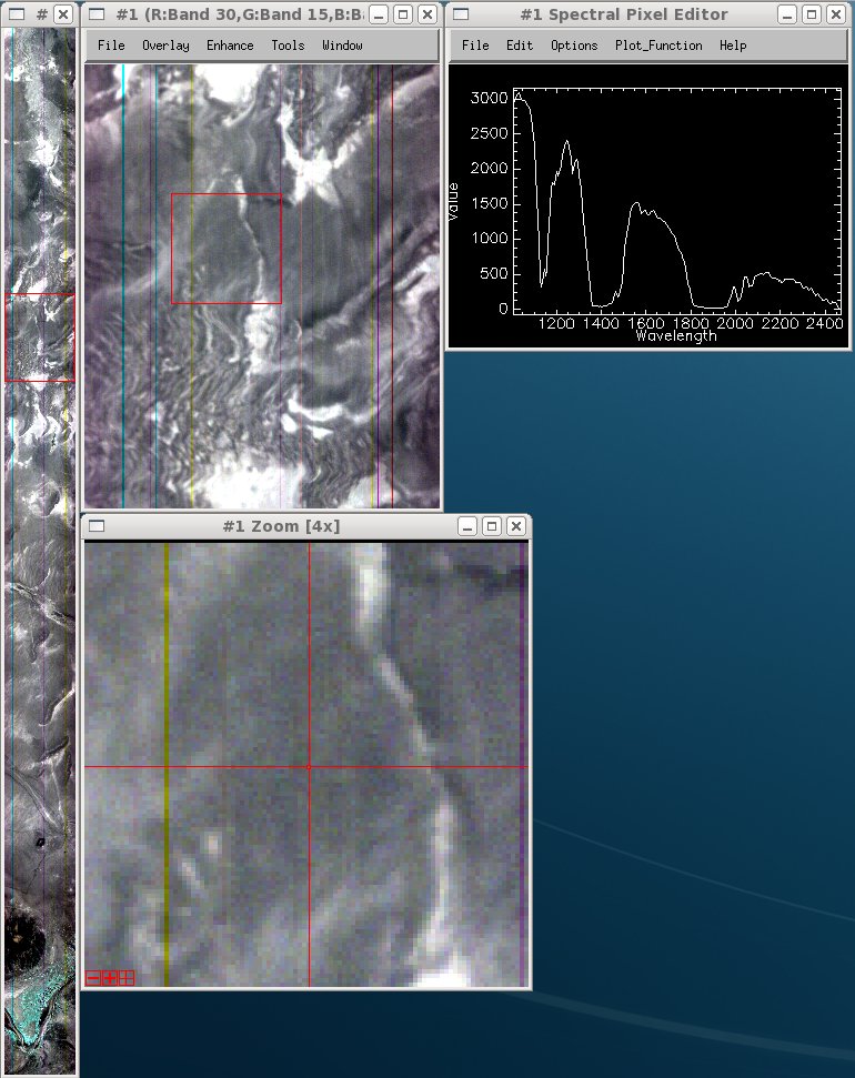
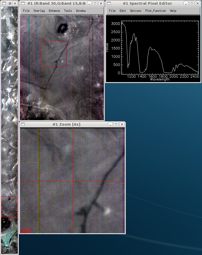
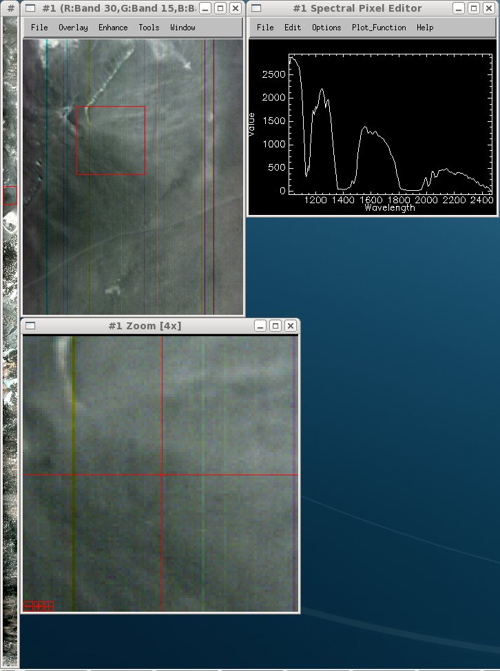
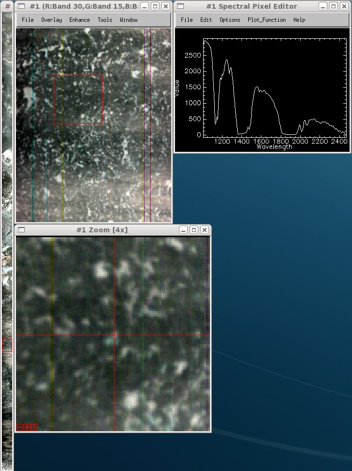
Sent: 23/05/2008 15:36:41
Subject: Ethiopia flights
Hi Guys
A few more questions about the Ethiopia data...
036_08_ET07_01_Rift_North only has a logsheet and no other data with it
(no applanix nor Eagle/Hawk data). Is there any data for this flight or
was it abandoned?
035b_08_ET07-04_Rift_south contains data time stamped for day 036 and
the times seem to agree with the logsheet for the
036_08_ET07_01_Rift_North flights. Could it be that the data has been
put in the wrong directory?
And also there is another directory 035_08_ET07_01 which only contains
one line of eagle data (no logsheet or applanix). Should this data go
with 035b_08_ET07-04_Rift_south logsheet? The timestamps of the data
appear to agree with the Rift south logsheet. And if this is the
case...is there any applanix for it?
Sorry for the confusing email late on a friday afternoon!
Cheers
Mark