| Version 1 (modified by jaho, 14 years ago) (diff) |
|---|
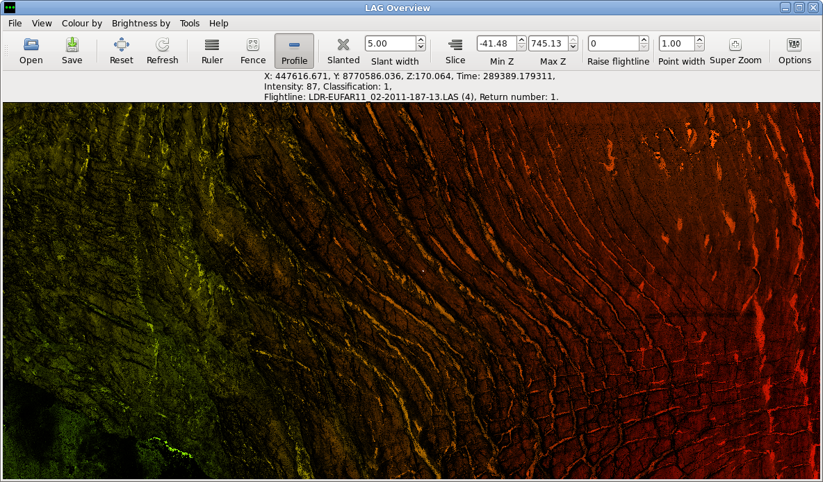
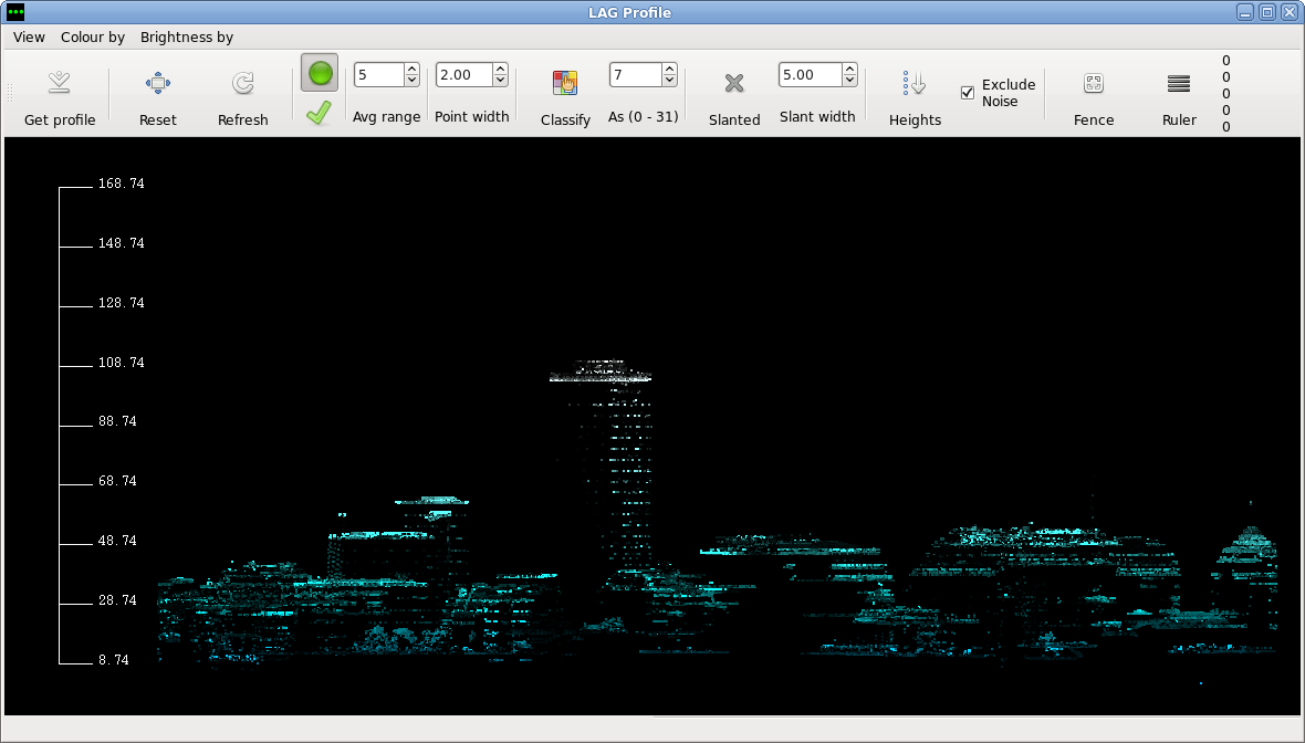
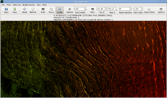
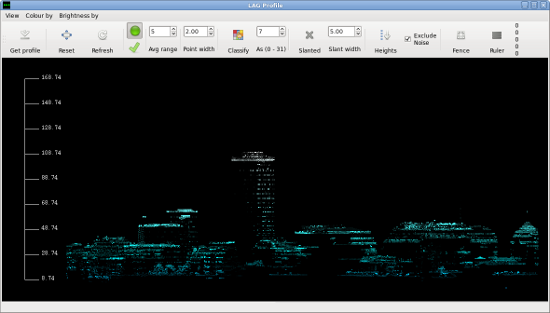
LAG - LiDAR Analysis GUI
LiDAR Analysis GUI (LAG) is a tool for visualisation, inspection and classification of LiDAR point clouds.
LAG has initially been created for Airborne Research and Survey Facility - Data analysis Node at Plymouth Marine Laboratory as a tool to help with processing big volumes of LiDAR data.
Attachments (4)
- lag3.png (1.1 MB) - added by jaho 14 years ago.
- lag4.png (109.9 KB) - added by jaho 14 years ago.
- lag3t.png (272.9 KB) - added by jaho 14 years ago.
- lag4t.png (59.3 KB) - added by jaho 14 years ago.
Download all attachments as: .zip