| Version 2 (modified by jaho, 14 years ago) (diff) |
|---|
LAG - LiDAR Analysis GUI =
LiDAR Analysis GUI (LAG) is a tool for visualisation, inspection and classification of LiDAR point clouds. It currently supports LAS and ASCII file formats.

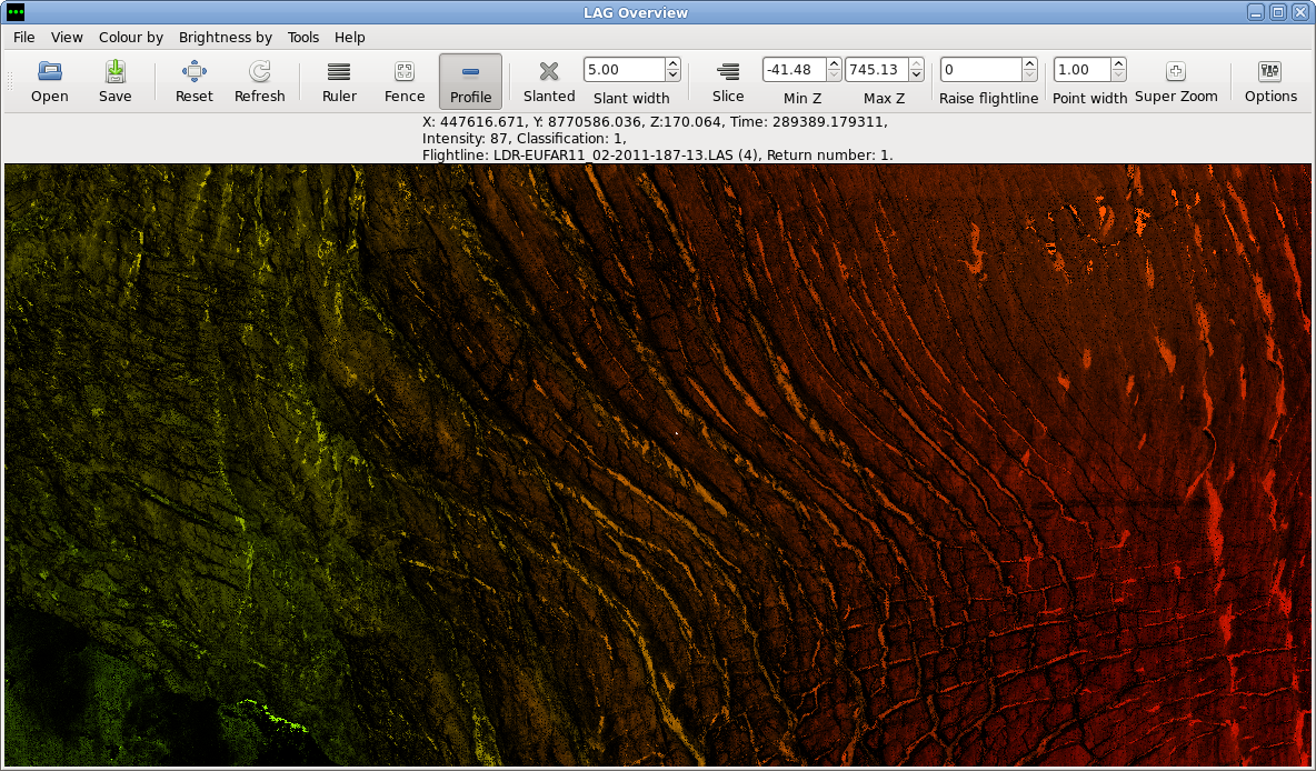
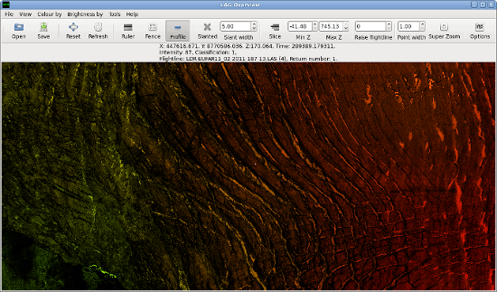
Lag 2D overview.
LAG has initially been created for Airborne Research and Survey Facility - Data analysis Node at Plymouth Marine Laboratory as a tool to help with processing big volumes of LiDAR data. As the project has grown we decided to realease it to the public as the open source software.
For more details about LiDAR processing at ARSF please visit this link:
Features
- Two perspectives for visualising points: top-down and profile (from the side)
- Support for ASCII and LAS files
- Support for UTM and latlong projections with an option to convert between the two
- Filtering of points by various criteria
- Points classification
- Detailed information for selected points
- Several visualisation options based on different attributes: height, classification, intensity
- Support for multiple flightlines (each file is a separate flightline)

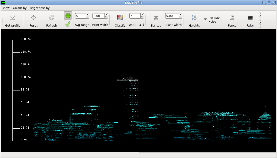
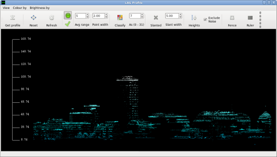
Profile view with points coloured by height and shaded by intensity.
Installation
LAG currently only runs on linux but windows version is in the works. To use lag please download the source code and follow the instruction in the README.
You'll also need laslib.
Documentation
For a brief user's guide please see out wiki at: http://arsf-dan.nerc.ac.uk/trac/wiki/Processing/laguserguide
If you're a developer and would like to contribute to the project or are just interested in the internal design of LAG please see LAG developers FAQ at: http://arsf-dan.nerc.ac.uk/trac/wiki/Processing/lagdevelopersfaq
Support and Contact
The LAG is provided as is and we don't provide any additional support for its users. If you'd like to contribute or have some specific questions about the code please contact one of the developers. If you'd like to know more about LiDAR processing at ARSF please contact arsf-processing@….
Attachments (4)
- lag3.png (1.1 MB) - added by jaho 14 years ago.
- lag4.png (109.9 KB) - added by jaho 14 years ago.
- lag3t.png (272.9 KB) - added by jaho 14 years ago.
- lag4t.png (59.3 KB) - added by jaho 14 years ago.
Download all attachments as: .zip