| Version 14 (modified by mark1, 14 years ago) (diff) |
|---|
Data Processing at ARSF-DAN
Instrument Calibration
- Hyperspectral Specim and in house calibration
- Leica lidar
- Leica RCD
Boresight Flights
- Little Rissington site details - September 2008 onwards
- Monks Wood site details - up to September 2008
- Gloucester
Processing and Quality Control
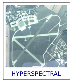
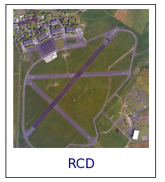
For information on the processing for the different sensors click on the relevant image below:
For a step-by-step guide for internal processing procedures please see here.
Delivered Data Formats
- Hyperspectral delivery contents
- LiDAR delivery contents
- jpg, tiff, kml etc.
- dems
Attachments (3)
- riss_hyper.png (83.1 KB) - added by emca 14 years ago.
- riss_lidar.png (48.4 KB) - added by emca 14 years ago.
- riss_rcd.png (74.8 KB) - added by emca 14 years ago.
Download all attachments as: .zip


